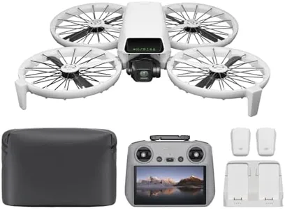
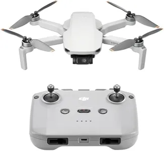
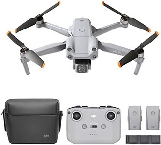
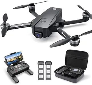
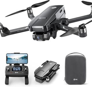
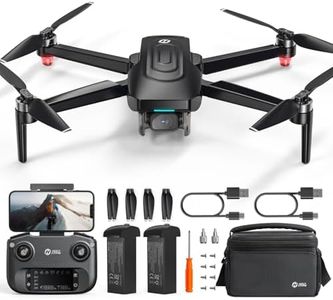
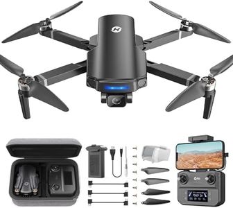
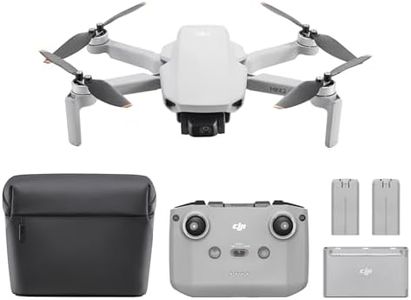
10 Best Surveying Drones
From leading brands and best sellers available on the web.By clicking on a link to a third party's website, log data is shared with that third party.


Related Products
Up to 6% off
Buying Guide for the Best Surveying Drones
Choosing the right surveying drone is all about matching the drone's capabilities with your specific surveying needs. Drones for surveying come with a range of features and specifications that affect their accuracy, efficiency, and ease of use. Before buying, think about the type of surveys you’ll perform, the environments you’ll work in, and how much detail you need in the final results. It's important to understand the technical aspects of drones, so you can make an informed decision and ensure your drone meets your job’s requirements.Camera ResolutionCamera resolution refers to the amount of detail the drone's camera can capture, usually measured in megapixels. For surveying, higher resolution means you can detect smaller features on the ground and produce more accurate maps or models. Entry-level drones might have cameras around 12-20MP, which can be suitable for basic surveys or smaller plots of land. Mid-range cameras (20-40MP) offer better image clarity and are often preferred for more professional tasks. High-end drones might feature cameras with 40MP or more, ideal for detailed topographical surveys or 3D modeling. Your choice should depend on the level of detail your projects demand: stick to higher resolution for complex or large-scale surveys, and lower for less critical or smaller-scale tasks.
Flight TimeFlight time indicates how long a drone can stay airborne on a single battery charge. This is crucial in surveying because longer flight times allow you to cover more ground in one go, reducing the need for frequent landings and battery swaps. Compact drones might offer 15-25 minutes, suitable for quick or small jobs. Mid-tier models can last 25-35 minutes, which covers medium sites efficiently. Advanced drones can go beyond 35 minutes per flight, allowing for uninterrupted mapping of large or complex areas. Choose based on the average size of your survey sites and your workflow needs.
GNSS Capabilities (GPS/RTK/PPK)GNSS capabilities refer to the drone's ability to precisely determine its location using satellite signals. Standard GPS provides basic positioning, good for general use. For more accurate surveys, especially when centimeter-level precision is required, look for drones with RTK (Real-Time Kinematic) or PPK (Post-Processed Kinematic) systems. RTK offers real-time corrections for high-precision mapping, while PPK applies corrections after the flight, which can be helpful in areas with poor signal. Base your decision on how precise your mapping results need to be: GPS for rough overviews, RTK or PPK for professional-level accuracy.
Obstacle Avoidance SensorsObstacle avoidance sensors help the drone detect and avoid objects during flight, which is especially important in complex environments like urban areas, forests, or places with power lines. Basic models may lack these sensors, making them suitable only for open, hazard-free spaces. Drones with front and bottom sensors offer better safety in moderately complex environments, while advanced models may have sensors on all sides, ideal for challenging or unpredictable sites. Consider where you’ll be flying most often to decide how much obstacle detection you need.
Payload CapacityPayload capacity means how much weight the drone can carry in addition to its built-in components. If you need to use specialized cameras, LiDAR sensors, or other surveying equipment, you’ll need a drone with higher payload capacity. For basic photogrammetry with the drone’s default camera, lower capacity is fine. If your work involves more advanced sensors or future-proofing for additional equipment, look for higher payload ratings. Let your typical and future project equipment guide your choice here.
Range (Control and Transmission Distance)Range describes how far the drone can fly from its remote controller while maintaining a reliable signal. Shorter ranges (up to 2km) suit small sites or when operators stay nearby. Mid-range (up to 5-8km) is sufficient for most survey applications, allowing you to cover larger areas while maintaining connection. Some advanced drones offer even greater ranges, but always check local regulations about line-of-sight flying. Pick a range that matches the typical size of your survey sites and your comfort with distant operation.
Mapping Software CompatibilityMapping software compatibility refers to the drone’s ability to work with various mapping and data processing programs. Some drones only work with proprietary software, while others are compatible with a wider range of packages for generating maps, 3D models, and point clouds. If you already use certain software, make sure your drone integrates smoothly. If not, consider what outputs (like orthomosaics, contour maps) you’ll need and check the drone’s supported platforms to ensure an easy workflow.