10 Best World Maps
From leading brands and best sellers available on the web.By clicking on a link to a third party's website, log data is shared with that third party.
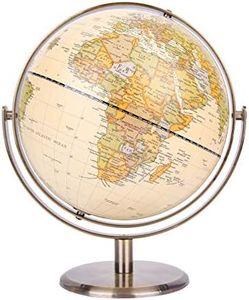
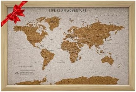
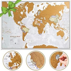
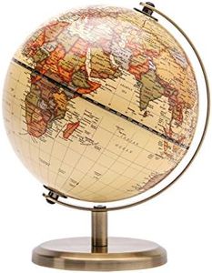
Related Products

Buying Guide for the Best World Maps
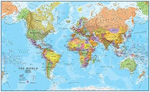
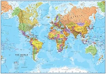
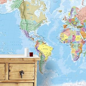
When selecting a world map, it's important to consider what you want to use the map for. Are you using it for education, decoration, planning travel, or as a learning tool? Different world maps serve different purposes. Some are designed for classrooms, while others are made to look stylish on your wall. Understanding your needs will help you narrow down the choices and pick a world map that fits both your space and your purpose.Map Type (Physical vs. Political)The map type refers to the kind of information the map shows. Physical maps highlight natural features such as mountains, rivers, and deserts, making them great for those interested in geography and natural landscapes. Political maps focus on boundaries, countries, and cities, which are more useful for learning about the world’s nations and political divisions. Some maps combine both types. If you want to see how the earth looks naturally, choose a physical map. If you want to know where countries and capitals are, a political map is the better choice.
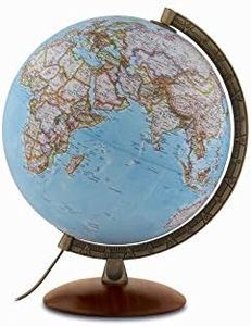
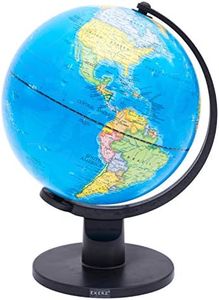
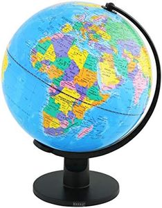
SizeThe size of the world map can range from pocket-sized book maps to large wall-hanging murals. Larger maps allow for more detail, which is helpful if you need to study or display fine information such as small countries or city names. Smaller maps are handy if space is limited or you prefer something portable. Consider the space where you plan to keep the map: if it's for a classroom or office wall, a larger map works best, while a compact one suits desk or travel use.
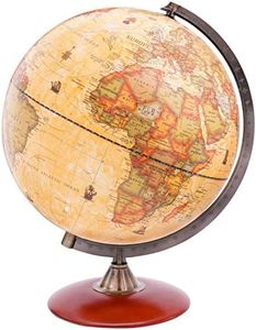
MaterialMaterial refers to what the map is made of. Common options include paper, laminated, canvas, or even wood. Paper maps are lightweight and can be folded but are less durable. Laminated maps can be written on and wiped clean, making them suitable for frequent use or classrooms. Canvas and wooden maps tend to be more decorative and sturdy, ideal for home or office decor. If you want a practical map for repeated use, go for laminated. For decoration, canvas or wood could be more appealing.
ProjectionMap projection is the method used to represent the curved surface of the Earth on a flat map. Popular options are Mercator, Robinson, and Winkel Tripel. The Mercator projection preserves shapes but distorts sizes, especially near the poles—often used in navigation. Robinson and Winkel Tripel offer a more balanced view with less size distortion, making them better for general reference or classroom use. Choose a projection based on whether you need accuracy for navigation, general reference, or education.
Level of DetailThis refers to how much information is shown on the map. Some maps show just countries and major cities, while others include small towns, natural features, or even time zones. If you're using the map for study or travel planning, you might want more detail. For decoration or basic reference, less detail may be better for a clean look. Think about how much information you want to see at once—this should guide your choice.
LanguageMaps are available in various languages. It’s important to choose one in a language you or your audience can easily understand. Some maps use Latin or local names for countries and cities, which might be educational but could cause confusion if unfamiliar. If the map is for a classroom or public space, make sure the language matches the users’ needs.
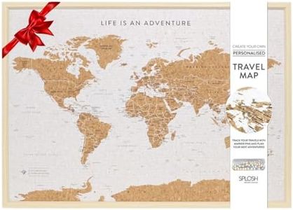
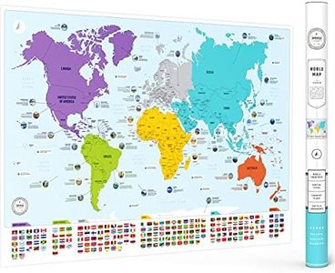
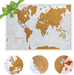
Special FeaturesSome world maps come with extra features such as scratch-off surfaces to track your travels, magnetic or pin boards for marking places, or interactive digital components. These features are useful if you want a map that does more than just display locations. If you enjoy keeping track of your experiences or want an engaging educational tool, consider maps with these additional elements.